Visit ALBUM - Art, history and entertainment picture archive to inquire about licensing high resolution images for professional or commercial use

Previous Image

|

Next Image
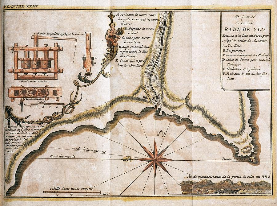
PERU. 18TH CENTURY. MAP OF THE RADA DE YLO -currently ILO-, main port located on the Peruvian coast. Drawing by Album

Similar Images

Map of heavens earth showing theory of earth planets and zodiac, c.1543 by Nicholas Copernicus. by Album
Map Of Mexico. Plano Laguna De Chalco, By Jose Antonio Alzate. Library Lorenzana - Borbon. Toledo. by Album
Map Of Peru By Juan Janssenio, 1613. Geographical Service Of The Army. Madrid. by Juan Janssenio
Map Of Ecuador. Audience Of Quito By Francisco Requena, 1779. Geographical Service Of The Army. by Album
Map Of Brazil. Geographical Service Of The Army. Madrid. by Album
Map Of The City Of Acapulco With Its Castle - 1742. by Album
Map of Michoacan bishopric -Mexico-. Madrid, History Academy. by Album
Cartography. Alonso De Santa Cruz . Seville 1505-1567. 'islario De Santa Cruz' La Espanola. by Album
William Barenst last Voyage 1596-7, The Camp at Kola where the expedition arrived on 30.8.1596. by Album
Map Of Macuil And Teutitlan, Province Of Oaxaca. by Album
Map of the Amazon area of Guiana  'Relation de la Riviere des Amazones', Paris, 1680. by Album
Mapping. Map Of The City Of Mexico By Braun Hogenberguius, 1582. Geographical Service Of The Army. by Album
Map of Central and South America. Theatrum Orbis Terrarum by Abraham Ortelius. First Edition. 1574. by Abraham Ortelius -1527-1598-
Map Of Occidentalis Americae Partis, Florida And The Caribbean / Benzoni. by Theodor de Bry -1528-1598-
Map Of The Antilles - 1579 - 16th Century. by Album
Map For The Defense Plan Of The Serrania Between Caracas And The Coast Of Guaira - 1778. by Cxam Agustin
Map Of The City Of Buenos Aires - 18th Century. by Album
Map Of South America And North America - 1760. by Louis Charles Desnos -18th cent -
Map Of The District Of The Audience Of Quito - 1779. by Requena Francisco

Comments

There are no comments for PERU. 18TH CENTURY. MAP OF THE RADA DE YLO -currently ILO-, main port located on the Peruvian coast..   Click here to post the first comment.

Recently Viewed

PERU. 18TH CENTURY. MAP OF THE RADA DE YLO -currently ILO-, main port located on the Peruvian coast. by Album
Previous Image Next Image